# Pointcloud
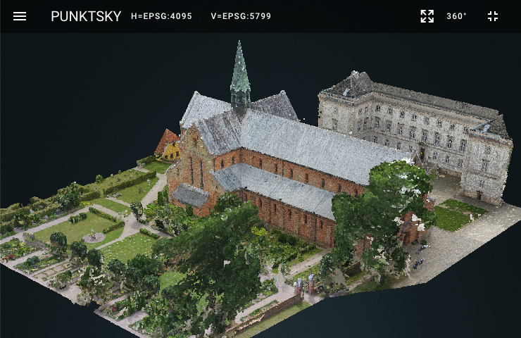 In the pointcloud window you can work with pointclouds in 3D.
Functions are activated through the toolbar and side menu.
In the pointcloud window you can work with pointclouds in 3D.
Functions are activated through the toolbar and side menu.
Toolbar
# Toolbar
# Coordinate System
The toolbar shows the coordinate system of the active point cloud. 0 is specified for coordinate system if the point cloud is in a local coordinate system. Clicking on the coordinate system opens a website that describes the coordinate system in question.
# Zoom to Extend
Zoom to the outline of all pointclouds.
# 360°
If the 360 ° button is clicked, the panorama view with the closest image relative to the pointcloud view is opened.
# Side menu
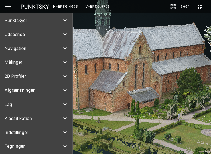 The side menu contains several functions for working with pointclouds.
The functions are grouped into groups that can be expanded or collapsed.
The side menu contains several functions for working with pointclouds.
The functions are grouped into groups that can be expanded or collapsed.
Groups
← 2D Map Panorama Image →